There's a set of scripts and processes I use for bringing geospatial data into Blender for visualization. They can be found at gitlab.com/timburbank/blender_gis_scripts
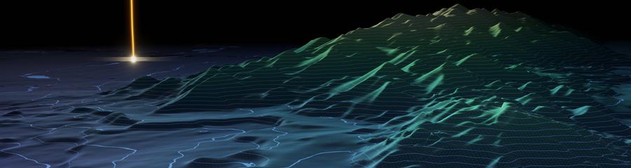
By bringing the data into the Blender scene with known georeferencing we can match up different data sources, like in this animation of an ROV dive path with the surrounding bathymetry maps.
All the geospatial heavy lifting happens in QGIS, which I use to translate the geographic coordinates of the source data into local coordinates for Blender. I have a collection of scripts in Blender that creates meshes or places objects based on that data. This can also be used alongside the BlenderGIS Blender plugin, or Terragen's procedural landscape rendering.